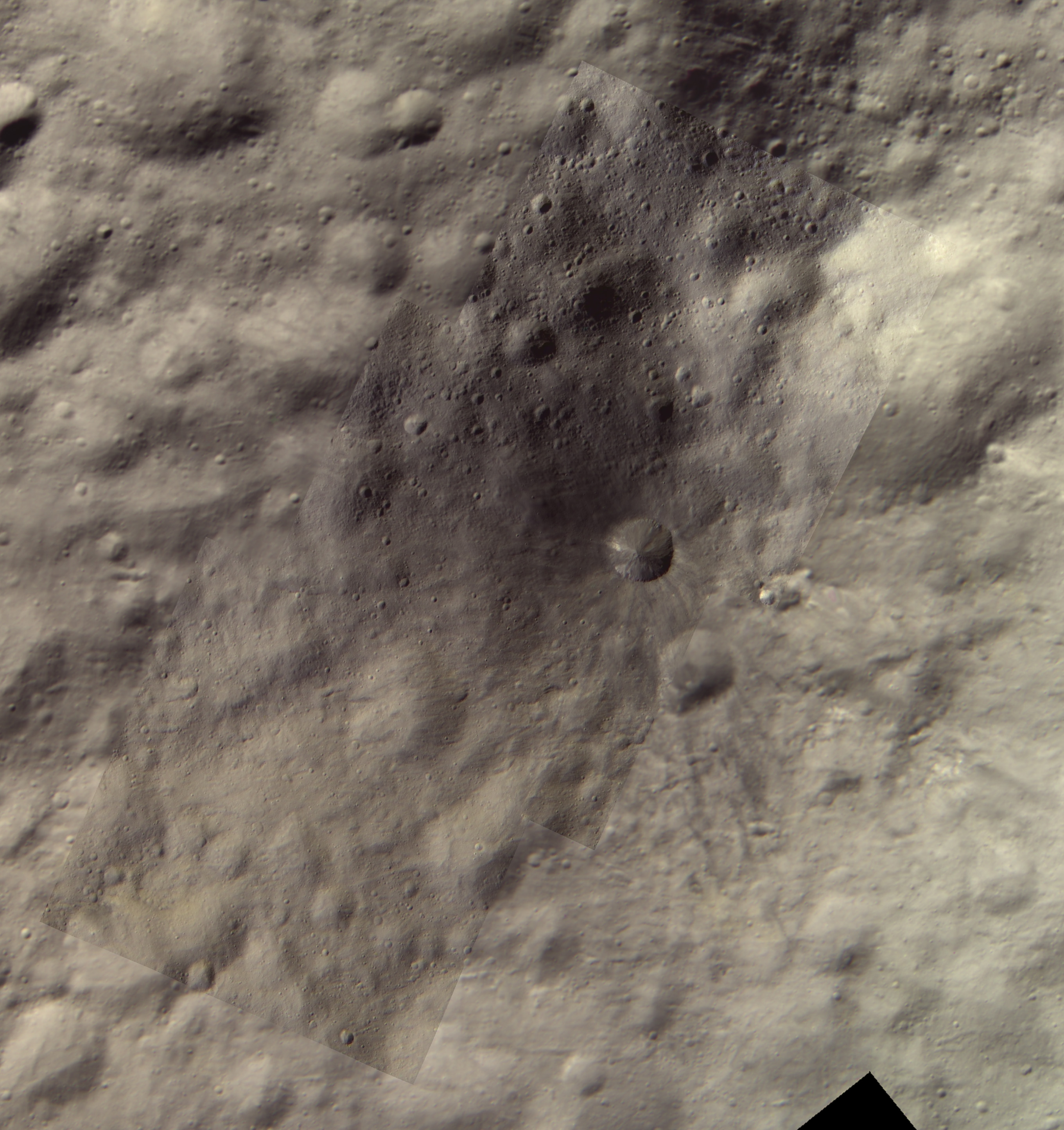
Vesta Images – Aricia Tholus
Aricia Tholus
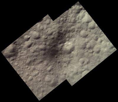
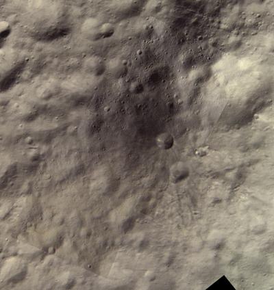
Two images showing Aricia Tholus. North is up. The first one is an approximately true color mosaic from high altitude mapping orbit (HAMO) data. The second one shows more details and includes low altitude mapping orbit (LAMO) images colorized from the HAMO images. The HAMO images were obtained by Dawn on October 26, 2011 and the LAMO images on April 30, 2012.
Dawn imaged Vesta globally using all of its color filters during the HAMO mission phase. A lot of clear filter coverage was also acquired during LAMO but color coverage is limited. Only the 918, 749 and 548 nm filters were used for color during LAMO, the images are 2x2 binned and only cover selected parts of Vesta's surface. To get RGB LAMO images it is necessary to use HAMO images to colorize the LAMO clear filter images.
Aricia Tholus (HAMO data)
Aricia Tholus (combined HAMO and LAMO data)
Aricia Tholus anaglyph
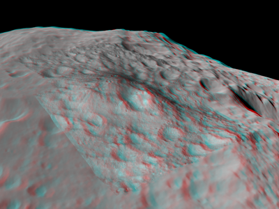
Aricia Tholus is really a mountain but this is not obvious in the images above where we are looking directly down. But an anaglyph made by draping the above HAMO image on a hi-res shape model of Vesta shows this beautifully; here we are looking to the west.
Click any thumbnail to view the full-size image. Full-size versions may be much larger than the thumbnails.